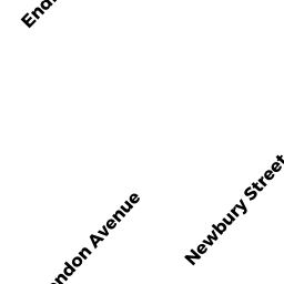
51 NEWBURY ST
Owner Information
GAVRIELIDIS KONSTANTINOS
51 NEWBURY ST
SOMERVILLE, MA 02144


Property Details
51 NEWBURY ST is classified as a Two-Family Residential (Two family).
The primary structure on this property was built in 1900. There are 4061ft2 of built area within this property. There is 2384ft2 of residential/living space within this property. This property is listed as having 12 rooms.
51 NEWBURY ST is valued at 911000. The land is valued at 584900 and the structures are valued at 315300. There is an additional valuation of 10800 on this property.
This property is in Zone NR. Confirm with local Zoning Board authorities to ensure there are no overlays or other easements on this property.
The most recent deed for 51 NEWBURY ST is recorded at the local registrar in Book 15817, Page 164. 51 NEWBURY ST was last sold on 1984-10-05 for 125000.
Assessment data from fiscal year 2021.
Flood Data
According to the FEMA National Flood Hazard Layer, this property does not appear to be in a flood zone. It may also be in an area not yet reviewed. Nonetheless, confirm this information prior to taking any action.
To view the flood hazards around this property, create a FEMA "Firmette" Map of the area around 51 NEWBURY ST.
Broadband Internet Providers
| Provider | Type | Bandwidth (mbps) | |
|---|---|---|---|
| netBlazr Inc | Fixed Wireless | 50 | 50 |
| Starry, Inc. | Fixed Wireless | 200 | 200 |
| RCN | Cable | 500 | 20 |
| RCN | Cable | 1000 | 20 |
| Comcast | Cable | 1000 | 35 |
| Viasat Inc | Satellite | 100 | 3 |
| Crown Castle Fiber | Fiber | 0 | 0 |
| Verizon New England Inc. | DSL | 15 | 1 |
| HughesNet | Satellite | 25 | 3 |
| VSAT Systems, LLC. | Satellite | 2 | 1 |
| GCI Communication Corp. | Satellite | 0 | 0 |
| RCN | Cable | 25 | 4 |
Broadband service provider data from December 2020.
Adjacent Properties
- 53 NEWBURY ST
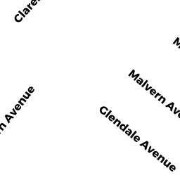
Two-Family Residential owned by HAYNES BERLIN A & CLARK DIANE - 62 CLARENDON AVE
Single Family Residential owned by OAKES ROBERT M - 66 CLARENDON AVE
Single Family Residential owned by DESIMONE LEO G SR & LINDA A - 58 CLARENDON AVE
Two-Family Residential owned by GEARY D & CERASALE K & GEARY R TRUSTEES - 47 NEWBURY ST
Two-Family Residential owned by SILLARI CHARLES J JR TRUSTEE